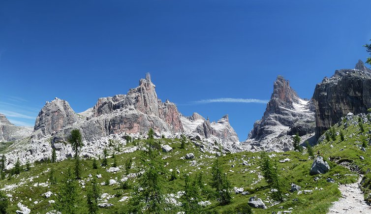
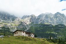
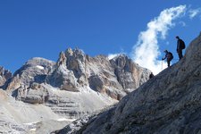
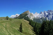
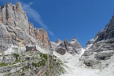
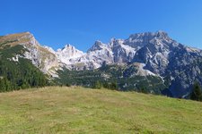
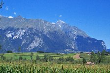
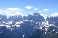
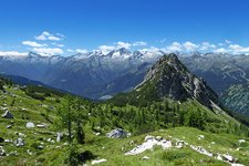
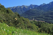
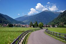
The Brenta Dolomites are a mountain chain in the north of Lake Garda, characterised by numerous via ferrata routes
Image gallery: Brenta Dolomites
The Brenta Dolomites are about 40 km long and 12 km large and are bounded by the Val di Sole, the Val di Non, Lake Molveno and the Paganella mountain chain. In the south they are bounded by the Valli Giudicarie and in the west by the Val Rendena.
The Brenta Dolomites are divided into three subgroups. The central Brenta Dolomites are characterised by the most beautiful peaks and are accessible from Molveno and Madonna di Campiglio. The northern Brenta Dolomites are much wilder. For this reason it is also the habitat of a group of bears, which is the last in the alpine area. The southern group offers an impressive landscape.
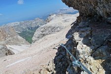
The Brenta Dolomites are located in the Adamello Brenta Nature Park and include 8 peaks which are more than 3000 m high. Several other peaks are more than 2800 m high. In the history of alpinism, the Brenta Dolomites had an important role to play. Characteristic for this area are also a large number of fixed rope routes in various degrees of difficulty. The most famous and popular via ferrata is the "Via della Bocchette".
- Highest peak: Cima Tosa (3,173 m)
- First ascent of Cima Tosa: Loss von Primiero, 1865
- Important peaks: Crozzon di Brenta, Cima Ambiez, Cima Mandron, Torre di Brenta, Campanile Basso
- Location: Trentino, between Lake Garda and Ortles
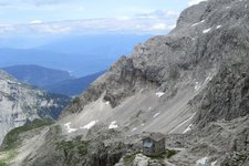
- Mountain huts: Rifugio S. Agostini, Rifugio Alimonta, Rifugio Brentei, Rifugio Dodici Apostoli, Rifugio Graffer al Grostè, Rifugio Pedrotti/Tosa, Rifugio Tuckett - Quintino Sella
