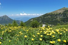
The Val d’Adige cycle track stretches from Trento towards north and leads past vineyards and fruit orchards
Image gallery: Val d’Adige cycle track: Trento - Bolzano
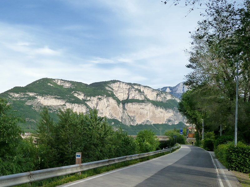
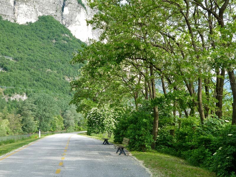
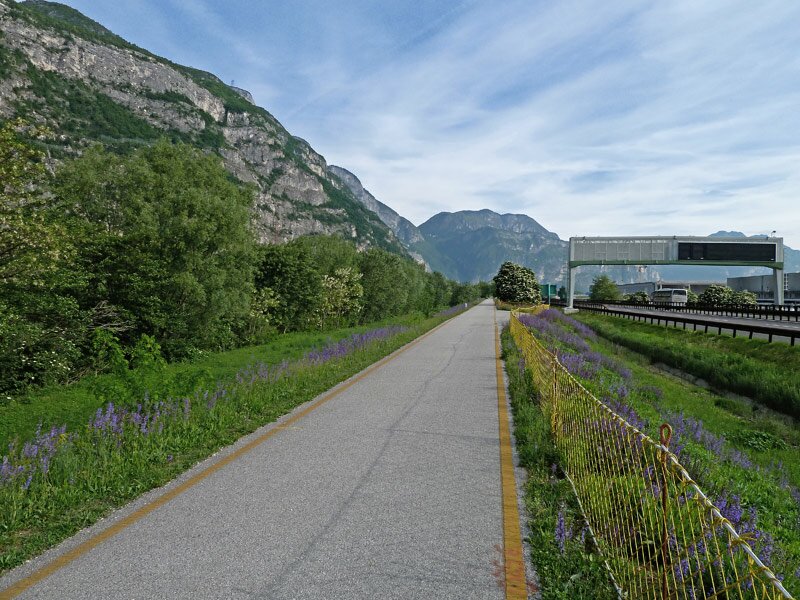
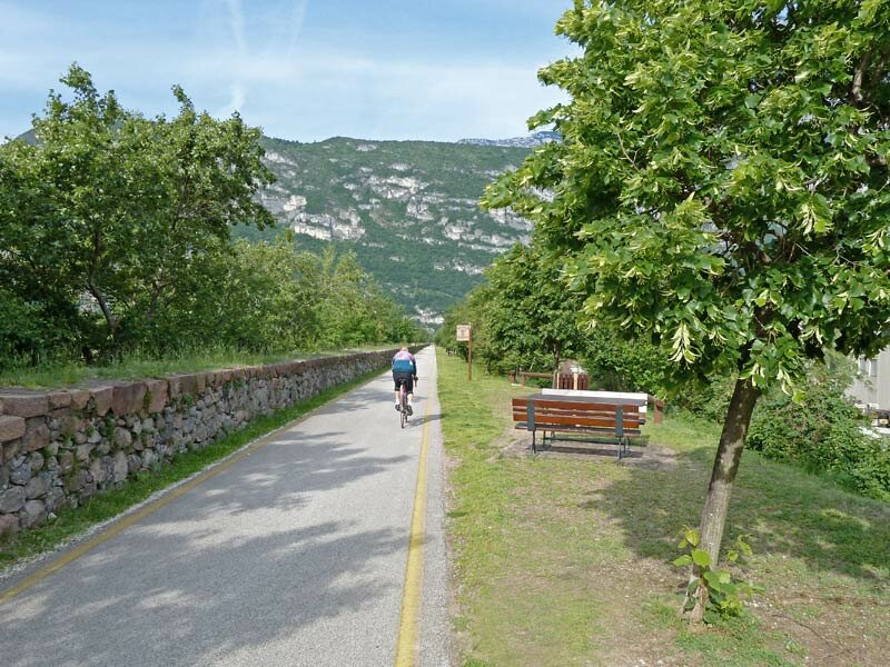
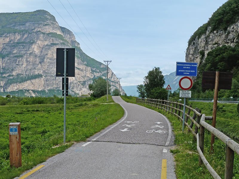
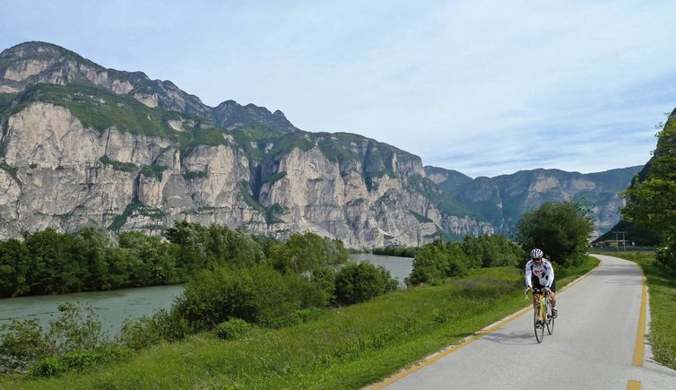
Whether you are a beginner or a professional, you will definitely enjoy cycling on a flat cycle path, past fruit orchards, vineyards and mountains. Starting from the centre of Trento at the riverside of the Adige river, we proceed towards north along the eastern riverside. After having left the city behind, you will immersed in beautiful apple orchards. Near Vela, the cycle path runs parallel to the Brennero motorway for a little while, before branching off left near Paganella.
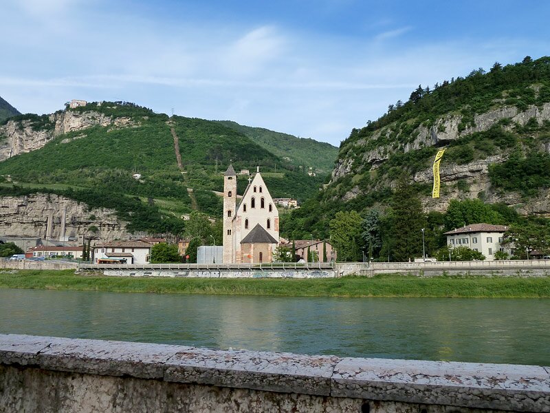
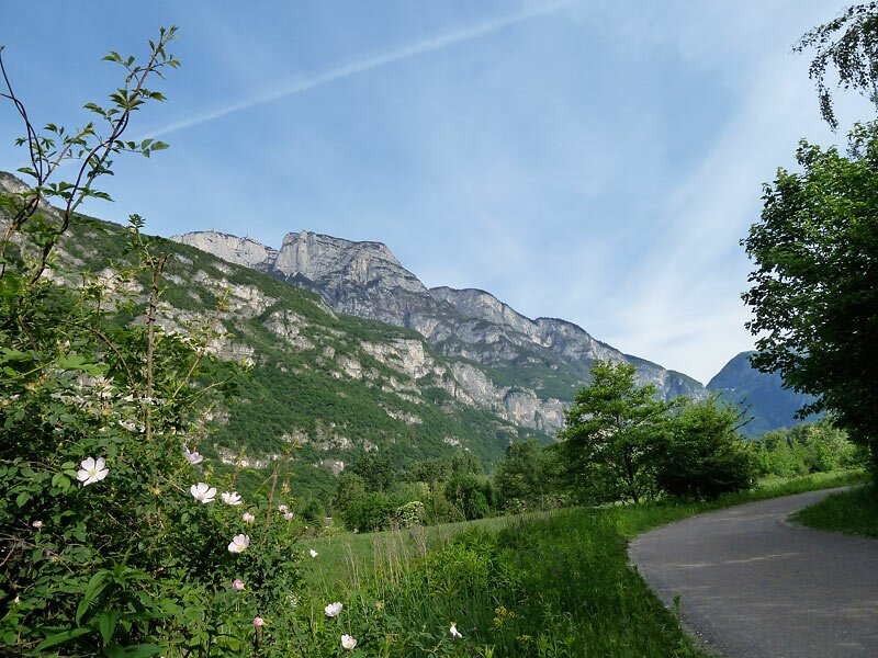
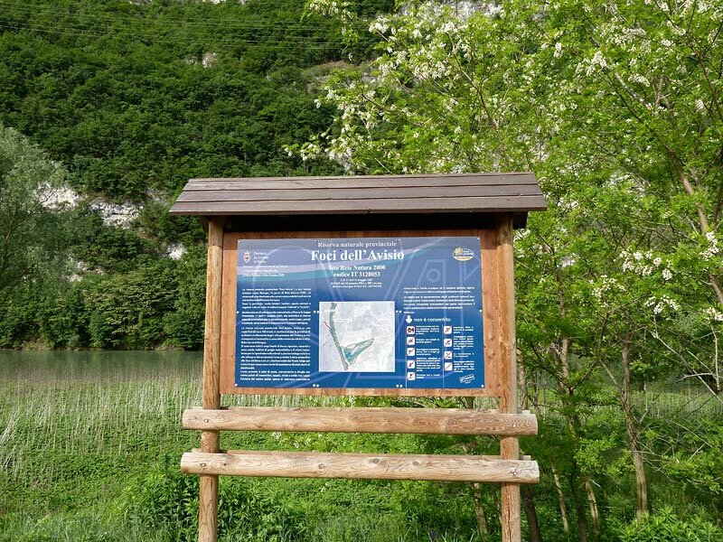
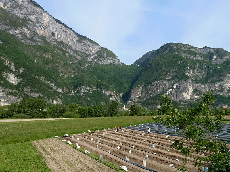
At the protected biotope of Foci dell'Avisio (mouth of the Avisio into the Adige), the cycle track runs around the meadows in a loop and leads to the village of Zambana, which is famous for its asparagus cultivation. We proceed across the Rotaliana plain, mainly characterised by vineyards, with the villages of San Michele and Mezzocorona. A few kilometres further, we reach the Chiusa di Salorno, which is both the geographic and linguistic border between the provinces of Trento and Bolzano.
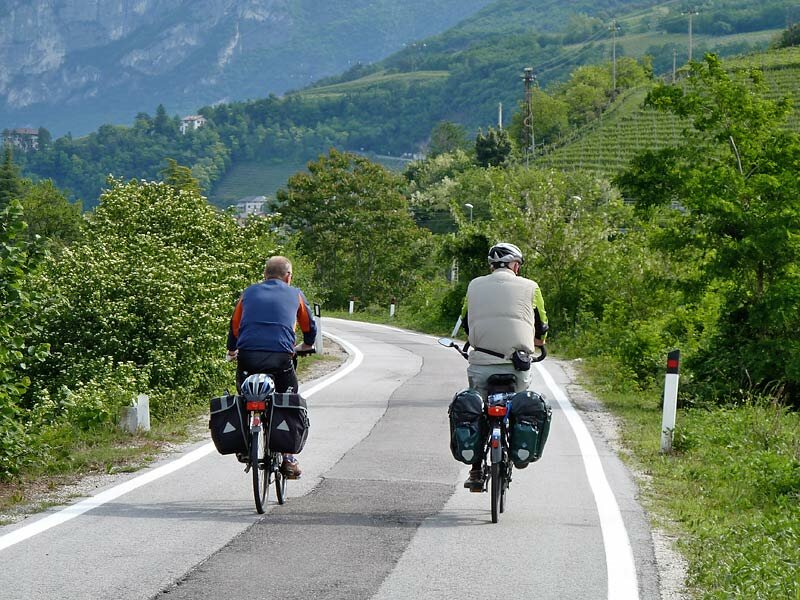
From here you can reach Bolzano, Merano, Lake Caldaro or the village of Appiano on a cycle track along the Adige river. For your way back to Trento you can use regional trains calling at several villages along the track and complete with bicycle transportation service.
Bicycle & train: regional trains with bicycle transport service are available on the railway line between Bolzano and Trento.
-
- Starting point:
- Trento centre
-
- Overall time:
- 03:20 h
-
- Total route length:
- 64,2 km
-
- Altitude:
- from 185 m to 268 m
-
- Altitude difference (uphill | downhill):
- +155 m | -56 m
-
- Signposts:
- Pista ciclabile Val d’Adige / Fahrradweg Trento - Cadino - Bozen (N° 1), Via Claudia Augusta, Val d'Adige cycle track
-
- Destination:
- Bolzano centre
-
- Track surface:
- entirely asphalted
-
- Recommended time of year:
- Jan Feb Mar Apr May Jun Jul Aug Sep Oct Nov Dec
-
- Download GPX track:
- Val d’Adige cycle track: Trento - Bolzano