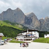
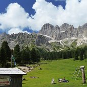
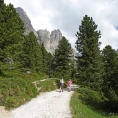
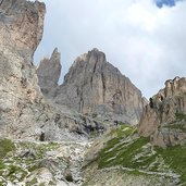
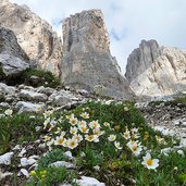
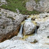
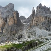
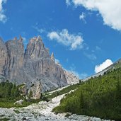
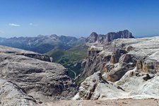
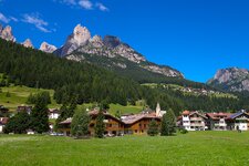
We extend the classic walk through the Gardeccia basin and Vajolet valley to the rifugi Vajolet and Preuss with a panoramic trail, enjoying fantastic views of the rock faces and towers of the Catinaccio
Image gallery: Hike to the Vajolet hut on the Catinaccio
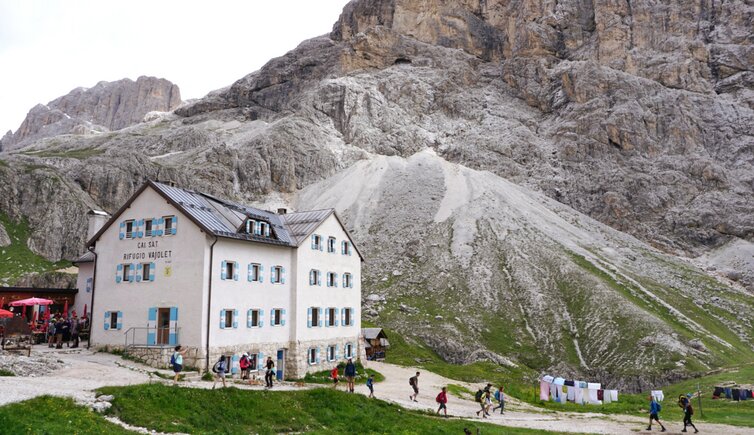
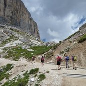
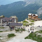
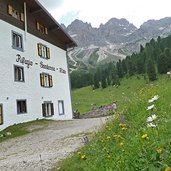
We take the Vajolet chair lift from Pera di Fassa to the meadows of Pian Pecei at 1,800 m a.s.l. (Vajolet I and II lifts). From here, we follow the comfortable Sentiero delle leggende (Legend's trail), leading to the Gardeccia basin with the eponymous mountain hut. We enter the Valle del Vajolet and proceed to the rifugi Vajolet and Preuss huts at over 2,200 m a.s.l.
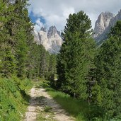
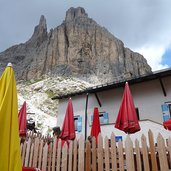
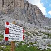
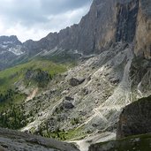
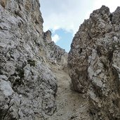
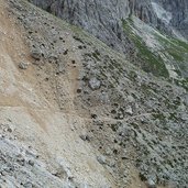
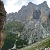
Now we are right below the foot of the Torri del Vajolet (Vajolet towers) and the eastern side of the Catinaccio. From this point, you can walk uphill to Rifugio Re Alberto al Gartl or to the Rifugio Passo Principe but the unpredictable weather forces us to choose a less demanding itinerary, the Sentiero Panoramico (panoramic trail) across the slopes of the Dirupi di Larsec on the eastern side of the valley, taking us back to Rifugio Gardeccia. During this part of the hike, we need to be cautious of loose rocks and debris along the path, but it is manageable for all hikers with some hiking and mountain experience. The view from the panoramic trail (Sentiero panoramico) is impressive and extends from the Torri del Vajolet to the Roda di Vael. Back at Rifugio Gardeccia, we return via the Sentiero delle leggende to the chair lift station, which takes us back to the Val di Fassa.
Author: AT
-
- Starting point:
- Pera di Fassa (valley station of the Vajolet chairlift)
-
- Overall time:
- 03:45 h
-
- Total route length:
- 9,4 km
-
- Altitude:
- from 1.806 m to 2.332 m
-
- Altitude difference:
- +535 m | -535 m
-
- Signposts:
- Sentiero delle Leggende, Rifugio Vajolet
-
- Destination:
- Rifugio Vajolet mountain hut
-
- Resting points:
- Baita Enrosadira, Rifugio Gardeccia, Rifugio Stella Alpina, Rifugio Preuss, Rifugio Vajolet mountain hut
-
- Recommended time of year:
- Jan Feb Mar Apr May Jun Jul Aug Sep Oct Nov Dec
-
- Download GPX track:
- Hike to the Vajolet hut on the Catinaccio
If you want to do this hike, we suggest you to check the weather and trail conditions in advance and on site before setting out.
