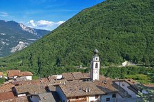
This wak leads us through the broad-leaf and mixed forests above the Vallagarina valley, ideal in spring and autumn, as well as to Lake Cei and the Cimana mountain hut
Image gallery: Hike from Castellano to Lake Cei
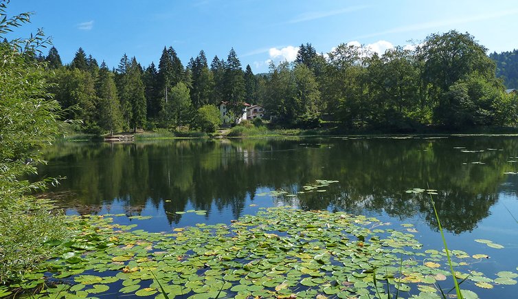
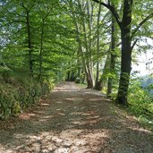
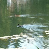
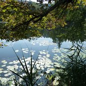
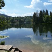
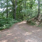
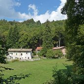
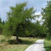
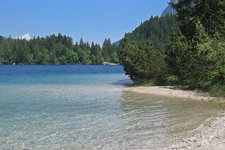
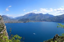
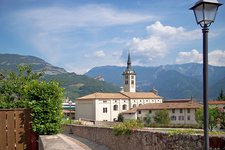
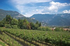
The village of Castellano is located on the mountain slope above the Villa Lagarina at 800 m asl. From this place you can enjoy a great view on the valley basin of Rovereto. Our path leads towards north, first asphalted, then as forested gravelled road, that stretches its way to the farmsteads of Marcoiano and Daiano, in order to proceed through the forest to the Lago di Cei. After about one hour of walking, we reach our first destination, the lake. When we walk round the lake, we can admire different water birds, such as black coots, feeding from the bottom in the reed belt.
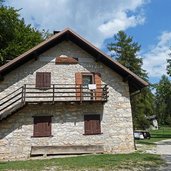
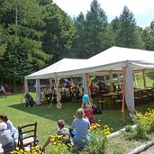
After a short break at the lakeside, we traverse the road SP20 and take the path towards Pra dell'Albi. Walking through the forest the way up and later the way down, we reach this wetland, where we take the path to the Malga Cimana. This alpine pasture is located at about 1,100 m asl and is therefore the highest point of our walk. The mountain restaurant is known for its local dishes and also offers sunny meadows and a children's playground. When we walk back, at Pra dell'Albi we directly take the path via Daiano and Marcoiano, in order to reach Castellano, our starting point.
Author: AT
-
- Starting point:
- Castellano (centre)
-
- Time required:
- 04:15 h
-
- Track length:
- 13,4 km
-
- Altitude:
- from 795 m to 1.190 m
-
- Altitude difference:
- +512 m | -512 m
-
- Route:
- Castellano - Marcoiano - Daiano - Cei - Pra dell’Albi - Cimana mountain hut - Daiano - Marcoiano - Castellano
-
- Signposts:
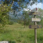
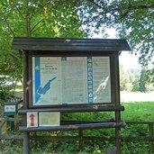
- no. 3, Percorso didattico (educational trail), Cei, Cimana, no. 4 and 5
-
- Resting points:
- Malga Cimana di Pedersano
-
- Recommended time of year:
- Jan Feb Mar Apr May Jun Jul Aug Sep Oct Nov Dec
-
- Download GPX track:
- Hike from Castellano to Lake Cei
If you want to do this hike, we suggest you to check the weather and trail conditions in advance and on site before setting out.
