A walk that provides a great view of the Trentino region leads up to the Sant’Antonio mountain pass at 1,893 m a.s.l
Image gallery: Hike from Mt Terlago to the Sant’Antonio mountain pass
On a beautiful autumn day, we drive to the parking space of Monte Terlago, located near Terlago in the Val d'Adige in Trentino. The spacious parking space, located at 760 m asl, is the starting point of our walk, this is also where the hiking trail begins. At the beginning it can be considered easy and slowly we start pacing ourselves.
As it was recommended to us, we follow the trail n° 606 and can then choose between two variants. One is very steep and leads up the mountain, the other is a forested road that seems more easy, but is much longer as it is not that steep. As these two trails, however, join several times, you can choose section by section which one to walk. This is also how we do, and we are happy that we brought warm clothes and sturdy shoes, as in October, it might get rather cold on the mountains. Along the trails, there are some nice places where to stop for a little snack and a break.
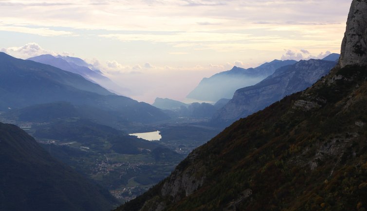
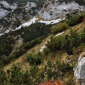
Once we reach the tree line, there is only one path left that snakes its way up. This is where you can inhale fresh mountain air and the odour of mountain pine, growing all over in this place. After having overcome the last ascent, we are finally rewarded with great views on Trento, the surrounding villages, valleys, hills up to Lake Garda. The panoramic view alone really was worth the effort. What is also highly impressive is to see the enormous Lake Garda from this unusual perspective.
Please note: Passo di Sant'Antonio, located at 1,893 m a.s.l. on a high plateau is not too panoramic. If you have time the whole day, we would recommend a walk to the Cima Paganella (2,091 m a.s.l.). According to a popular folk song, this is the place where you can enjoy the most perfect view of all over the province.
Author: EMS
-
- Starting point:
- Monte Terlago parking space
-
- Time required:
- 06:20 h
-
- Track length:
- 14,4 km
-
- Altitude:
- from 747 m to 1.891 m
-
- Altitude difference:
- +1328 m | -1328 m
-
- Route:
- from Mt Terlago to Passo di San Antonio (and back)
-
- Signposts:
- 606
-
- Recommended time of year:
- Jan Feb Mar Apr May Jun Jul Aug Sep Oct Nov Dec
-
- Download GPX track:
- Hike from Mt Terlago to the Sant’Antonio mountain pass
If you want to do this hike, we suggest you to check the weather and trail conditions in advance and on site before setting out.

-AufdieserBergspitzegibtesanscheinenddenschoenstenAusblickvonganzTrentino-4420.jpg)


-4492.jpg)


