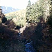
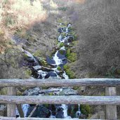
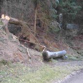
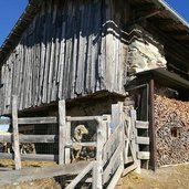
A beautiful autumnal hike in the Val dei Mocheni valley leads us from the Restaurant Van Spitz to the Kaserbisn Hitt mountain hut
Image gallery: Hike to the Kaserbisn Hitt mountain hut
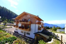
On this beautiful day in autumn we decide to make a walking tour in the picturesque and untouched Val dei Mocheni valley. By car we drive from Pergine into the Val dei Mocheni valley (Bersntol in local dialect) and follow there the signposts to Canezza and then towards Frassilongo until the junction to Roveda. From Roveda we drive until the Restaurant Van Spitz where we park our car. Our destination is the Kaserbisn Hitt, a mountain hut at the Prati Imperiali meadows.
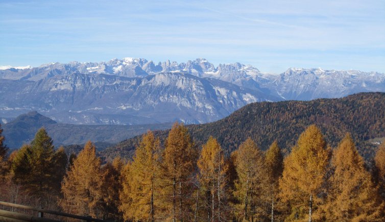
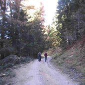
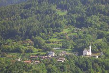
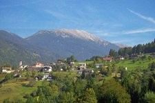
At the parking space we follow the path which branches off to the left. It is a flat gravelled road, only few sections have a gentle incline. The path is even suited for prams, but we recommend a backpack if you have small children. The weather is gorgeous and we enjoy a fantastic panoramic view on the Monte Bondone, Paganella Group, Brenta Dolomites and the surrounding coloured forests.
There are only few signposts to the Kaserbisn Hitt mountain hut. First we follow the markers to the Malga Valclava and then to the Prati Imperiali and the Kaserbisn Hitt. After about one hour we reach our destination. By the way – this hike is suited during all seasons of the year.
Author: EC
-
- Starting point:
- parking space at the Van Spitz tavern
-
- Time required:
- 02:40 h
-
- Track length:
- 8,1 km
-
- Altitude:
- from 1.500 m to 1.625 m
-
- Altitude difference:
- +209 m | -209 m
-
- Signposts:
- Prati Imperiali, Malga Valcava, Malga Kaserbisn Hitt
-
- Destination:
- Kaserbisn Hitt mountain hut
-
- Resting points:
- Kaserbisn Hitt lunch possible only after advance reservation. Further information: +39 348 8163490 (Corrado), +39 392 9718281 (Giordana)
-
- Recommended time of year:
- Jan Feb Mar Apr May Jun Jul Aug Sep Oct Nov Dec
-
- Download GPX track:
- Hike to the Kaserbisn Hitt mountain hut
If you want to do this hike, we suggest you to check the weather and trail conditions in advance and on site before setting out.
