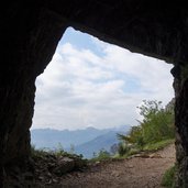
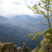
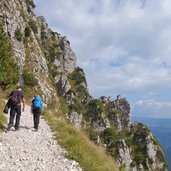
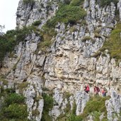
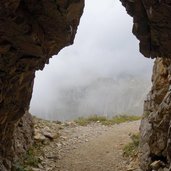
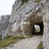
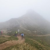
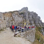
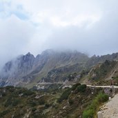
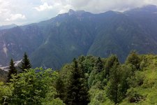
Along the legendary Strada delle 52 Gallerie (“Road of 52 tunnels”) at the Monte Pasubio mountain and via the Strada degli Scarubbi road down into the valley again – a special circular walking tour in the Vicentine Alps, on the traces of the battlefields of the Italian and Austro-Hungarian troops in WWI
Image gallery: Hike on the “Strada delle 52 Gallerie” path
Starting point of our hike is the Strada delle 52 Gallerie parking space, located above the Passo Xomo mountain pass. The access takes place along a narrow, bumpy mountain road. Please note, that the car park ticketing machine does not accept paper money but only coins!
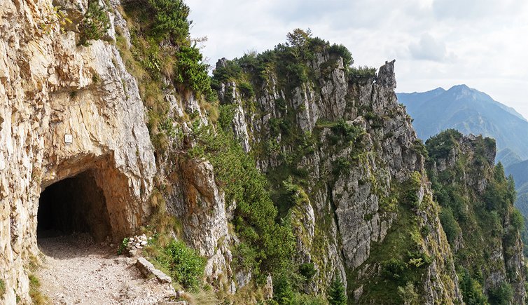
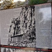
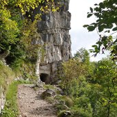
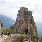
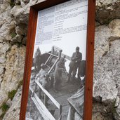
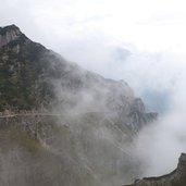
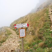
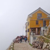
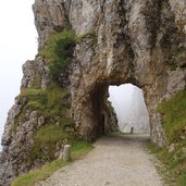
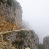
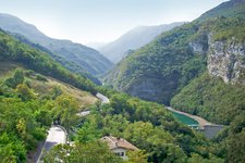
The path proceeds along the former military road at the slopes of the Monte Pasubio mountain. After few bends, we already reach the first tunnel, information boards tell about the battles on the Pasubio and the construction of the road in World War I. It was a good idea to bring along a torch because some of the 52 tunnels are quite long and the ground is rocky and partly humid. At the end of the spectacular road we reach the Rif. Achille Papa mountain hut where we enjoy sandwiches and hot tee.
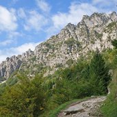
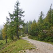
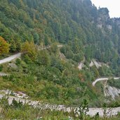
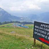
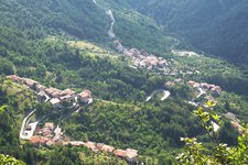
To discover another side of the Pasubio mountain, the descent is done on the Strada degli Scarubbi road. This road is less steep but about 1 km longer. Shortly before we reach our destination in the valley again, we pass the Malga Campiglia mountain hut, a last rest point before we return.
Author: AT
-
- Starting point:
- 52 Gallerie parking space above the Xomo mountain pass
-
- Time required:
- 04:25 h
-
- Track length:
- 14,9 km
-
- Altitude:
- from 1.204 m to 1.913 m
-
- Altitude difference:
- +1065 m | -1065 m
-
- Route:
- Strada delle 52 gallerie - Strada degli Scarubbi
-
- Signposts:
- 366, 370
-
- Destination:
- Rifugio Achille Papa (mountain hut)
-
- Resting points:
- Rifugio Achille Papa
-
- Recommended time of year:
- Jan Feb Mar Apr May Jun Jul Aug Sep Oct Nov Dec
-
- Download GPX track:
- Hike on the “Strada delle 52 Gallerie” path
If you want to do this hike, we suggest you to check the weather and trail conditions in advance and on site before setting out.
