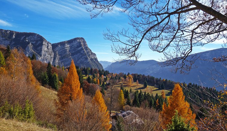
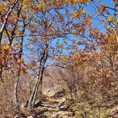
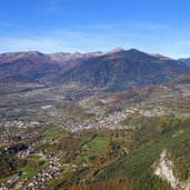
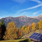
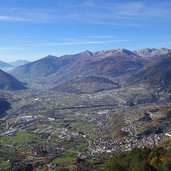
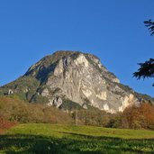
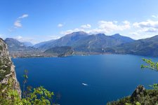
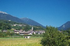
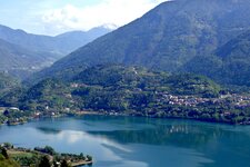
The 1,300 m high Monte Lefre is a great panoramic mountain above the Valsugana valley and well-suited for a hiking tour also in late autumn
Image gallery: Hike to Mt Lefre
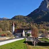
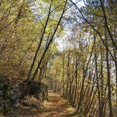
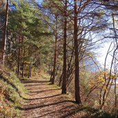
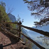
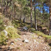
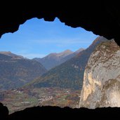
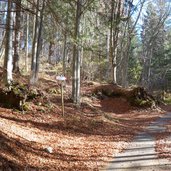
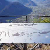
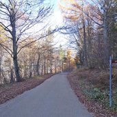
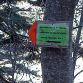
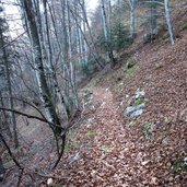
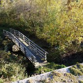
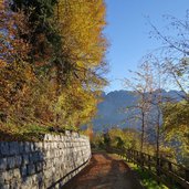
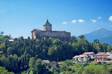
Starting in the village of Ivano Fracena (parking space beneath Ivano Castle) we follow the marker no. 329. Along the village road we walk towards the neighbouring village of Fracena (450 m asl.), at the village exit we take the forest path, which proceeds slightly uphill beneath the rocks of the Monte Lefre. Above the village of Ospedaletto, the junction to “Ponte dell’Orco”, a stone bridge formed by nature, can be found. But we stay on the path no. 329 which becomes narrower and steeper now. A bit of caution is important, because fallen leaves and stones impair the step security. The warm November sun makes us sweat. The trail leads into a forest path and soon we reach a viewpoint at a former shooting slit from WWI.
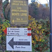
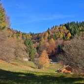
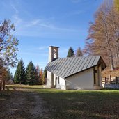
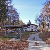
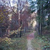
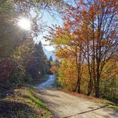
Further up we pass the Prai de Floriani huts (1,050 m asl.), then the path no. 329 branches towards the forest again, the last quite steep ascent is ahead of us. After about 3 hours we reach the high plateau at approx. 1,350 m asl. Past a chapel, the path proceeds to the Rif. Monte Lefre mountain hut which unfortunately is already closed now in November. A last section leads us to the summit where we enjoy the gorgeous view. For our way back we follow the asphalt road downhill (from the mountain hut onwards) until we find the signpost to Ivano Fracena at the left. For a long section we walk downhill through the forest and come via Strigno back to Ivano.
Author: AT
-
- Starting point:
- Ivano Fracena
-
- Time required:
- 05:10 h
-
- Track length:
- 18,6 km
-
- Altitude:
- from 448 m to 1.310 m
-
- Altitude difference:
- +915 m | -915 m
-
- Route:
- Ivano Fracena - Prai Floriani - Monte Lefre - Strigno - Ivano Fracena
-
- Signposts:
- 329, Monte Lefre
-
- Resting points:
- Rifugio Monte Lefre
-
- Recommended time of year:
- Jan Feb Mar Apr May Jun Jul Aug Sep Oct Nov Dec
-
- Download GPX track:
- Hike to Mt Lefre
If you want to do this hike, we suggest you to check the weather and trail conditions in advance and on site before setting out.
