May is the best month for this extensive circular walk between Lake Santa Massenza, Lake Toblino and the hamlets of Sarche, Calavino and Padergnone
Image gallery: Hike from Lake Toblino to Calavino
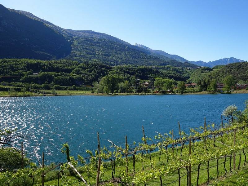
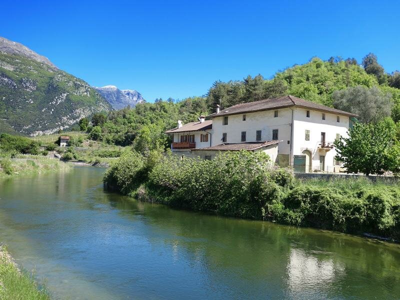
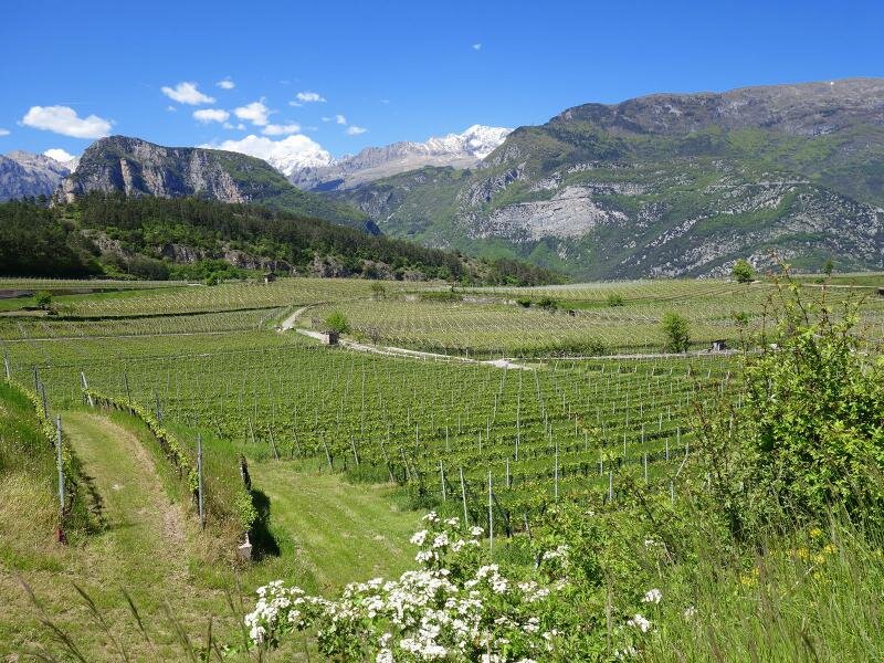
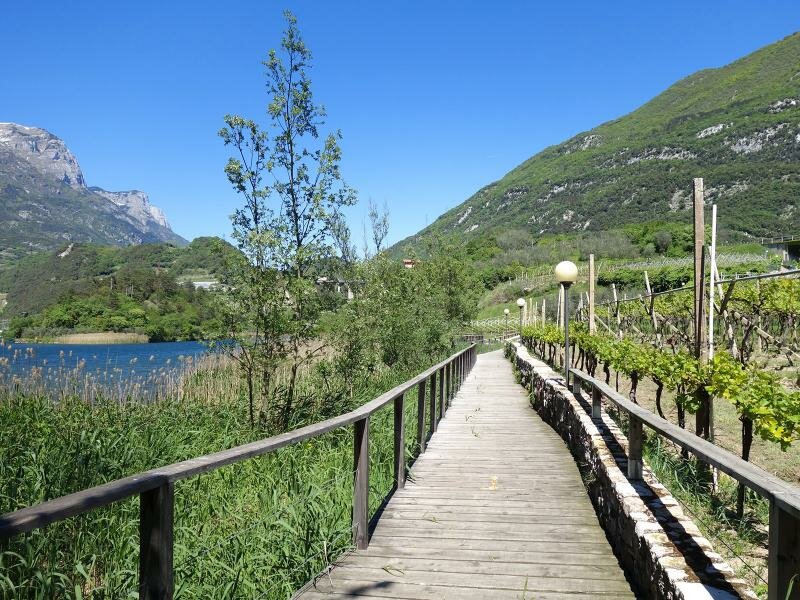
After the cold winter months, the landscape of the Valle dei Laghi valley is blossoming anew. This extensive circular walk starts at the hydroelectric power station near the village of Santa Massenza. From the car park we head south, along the shores of Lake Santa Massenza until we reach the junction with the “Gardesana Occidentale” road and cross it.
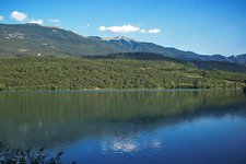
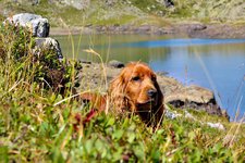
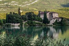
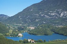
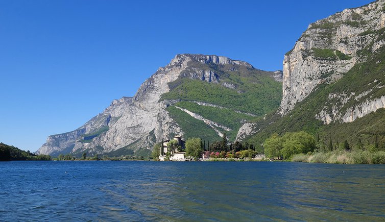
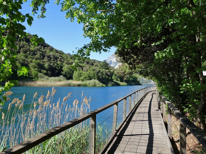
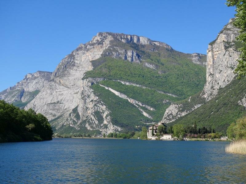
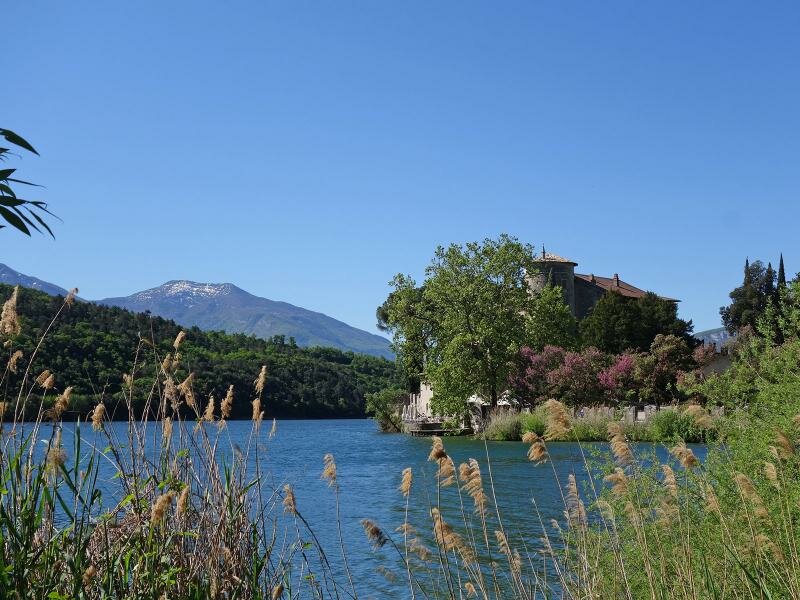
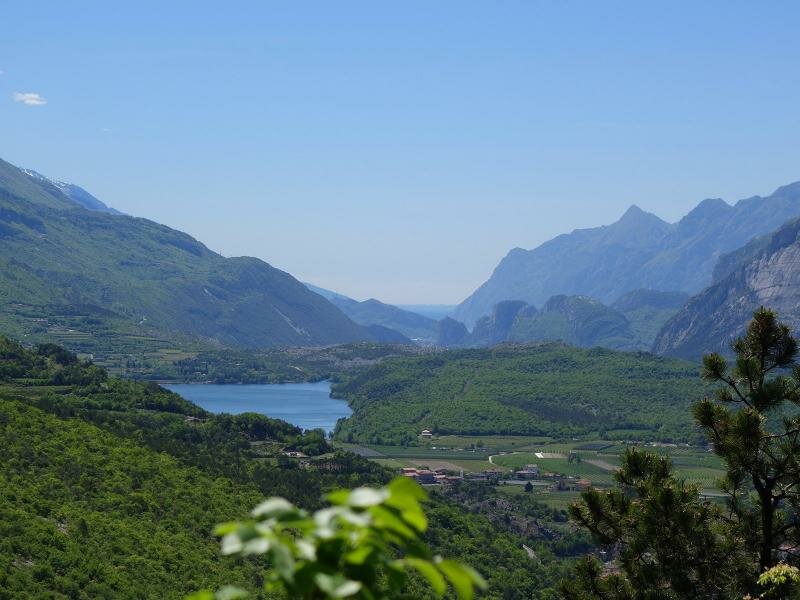
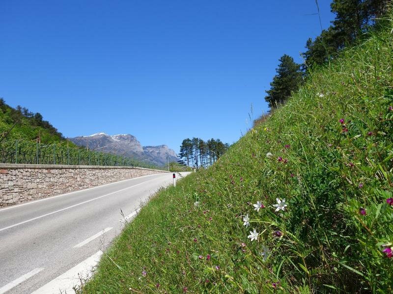
The trail now follows Lake Toblino offering enticing glimpses of the romantic Toblino Castle. Information boards along the way reveal the rich fauna and flora of this nature reserve. While this section of the path is undeniably beautiful, its proximity to the road introduces some traffic noise, which can detract from the tranquillity.
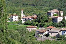
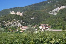
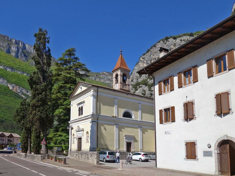
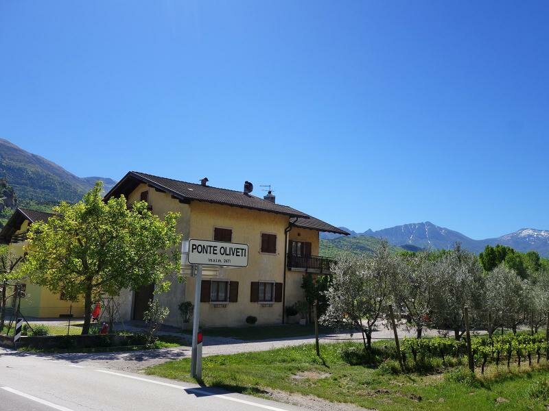
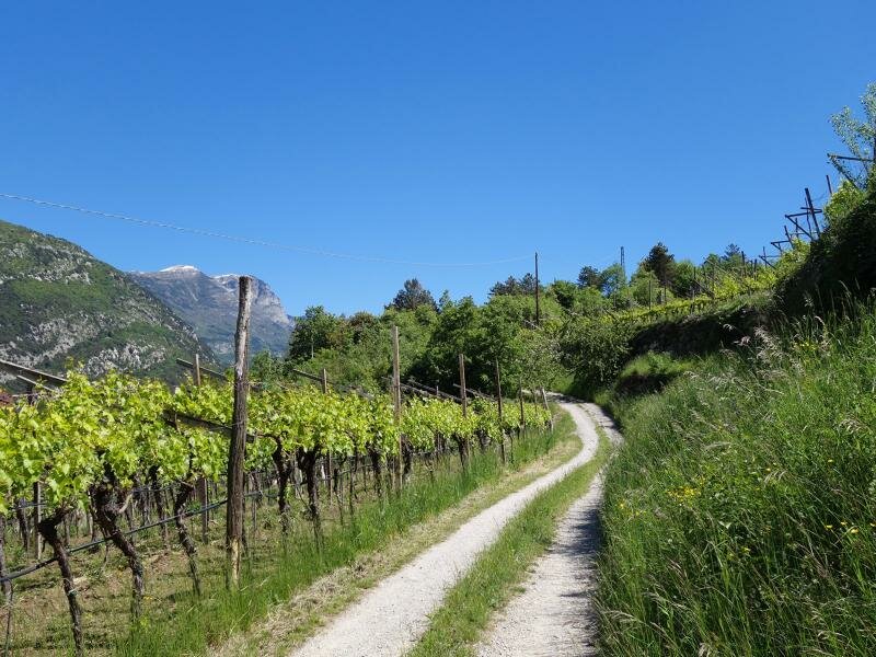
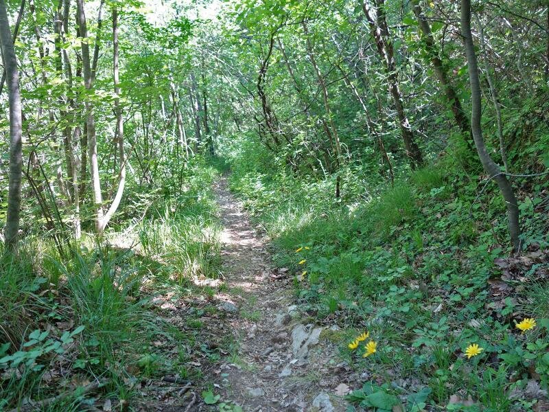
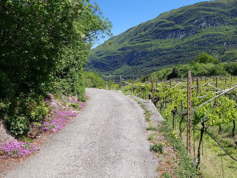
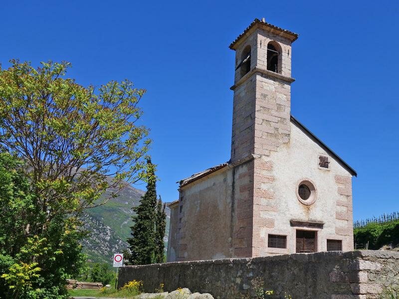
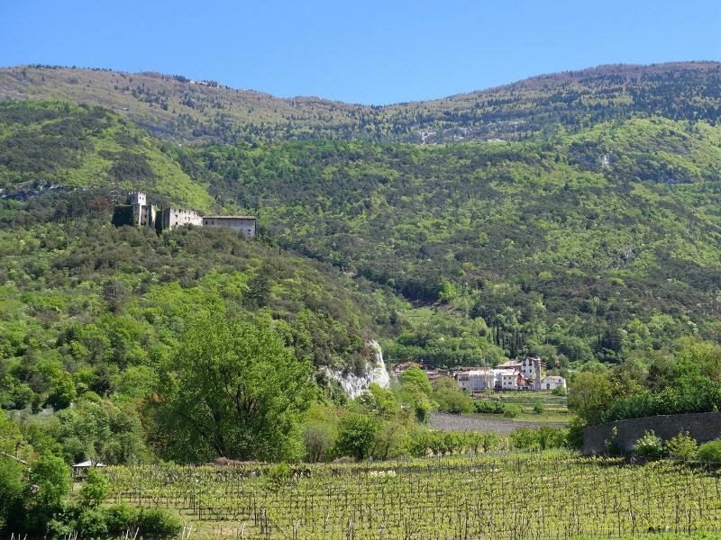
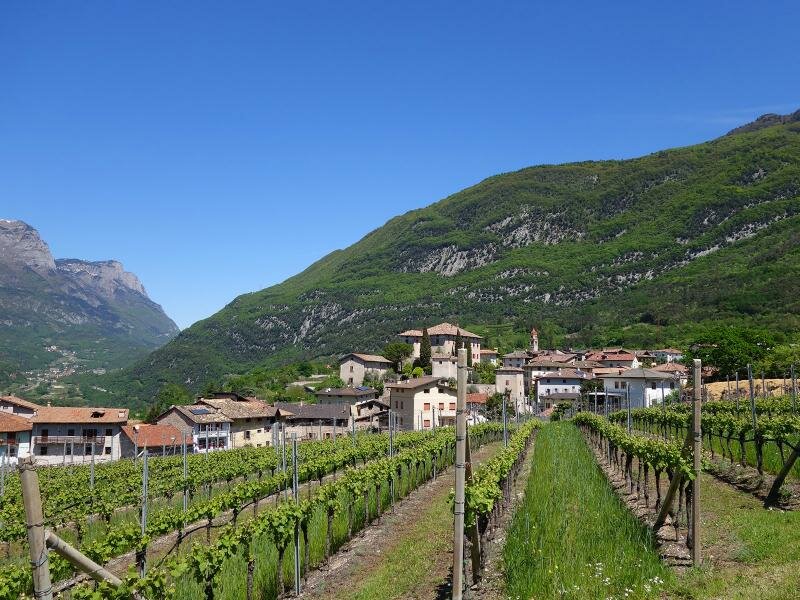
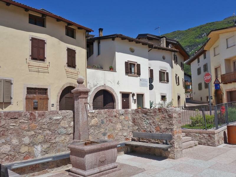
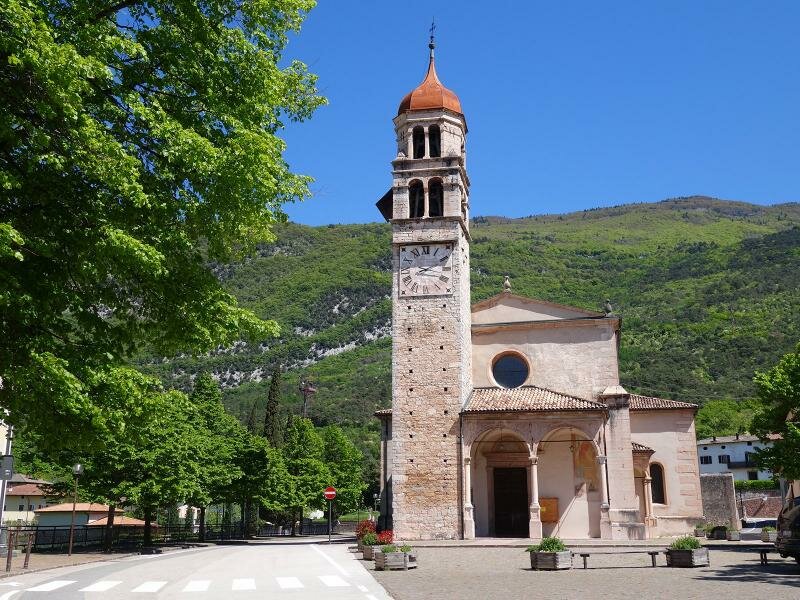
We continue towards the hamlet Sarche and the neighbouring village of Ponte Oliveti. After crossing the bridge over the Rimone river we turn left onto the path leading up into the woods. The route alternates between woodland and vineyards, eventually reaching the small church of Corgnon. Following the Frassene path for approximately 1 km, we arrive at road 251. From here, to reach Castel Madruzzo, continue to the junction with the road to Calavino. A charming path through the vineyards then leads you into the village, renowned for its historic centre and impressive architecture.
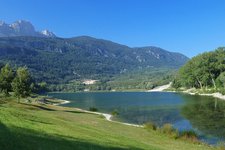
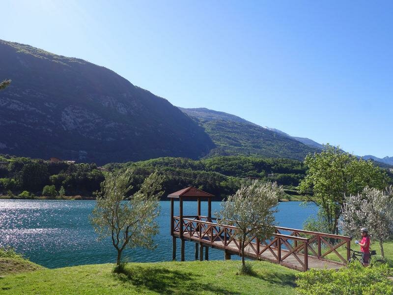
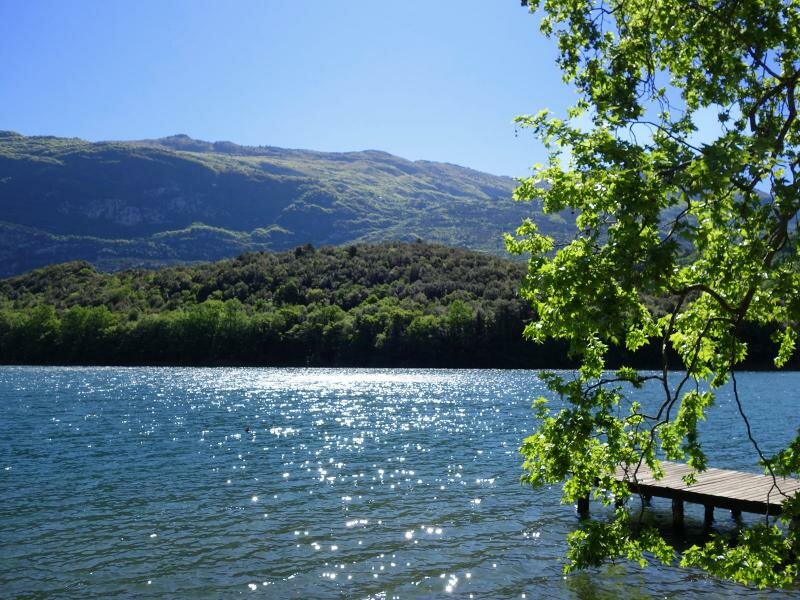
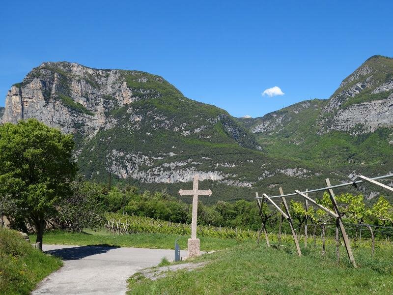
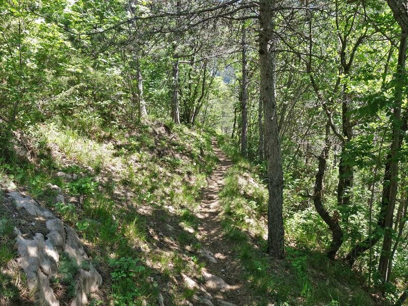
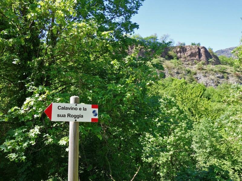
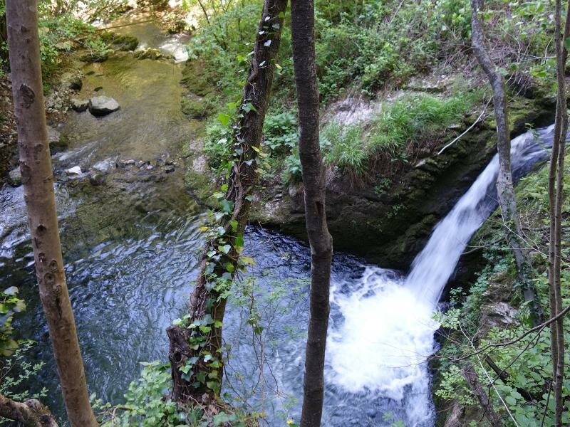
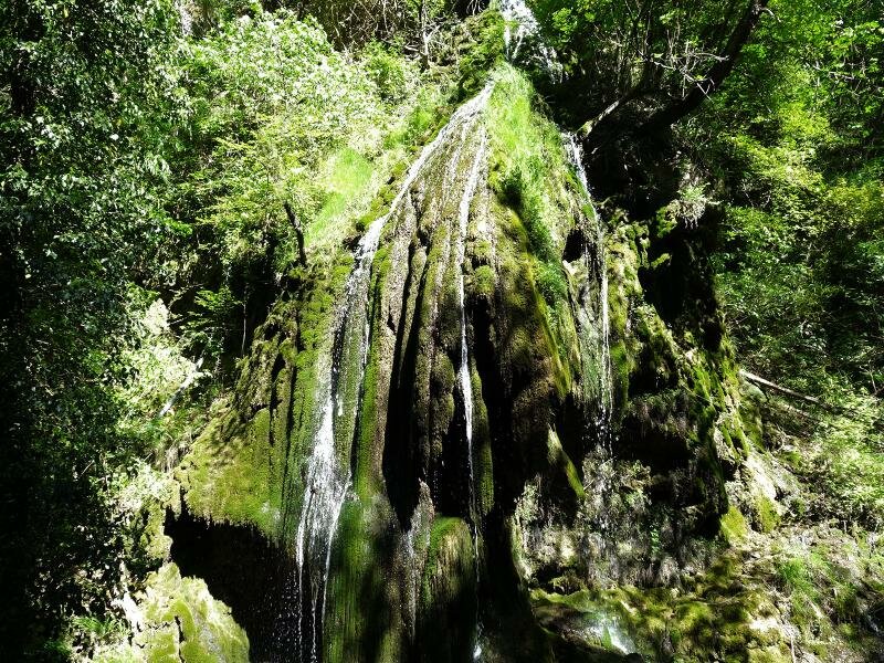
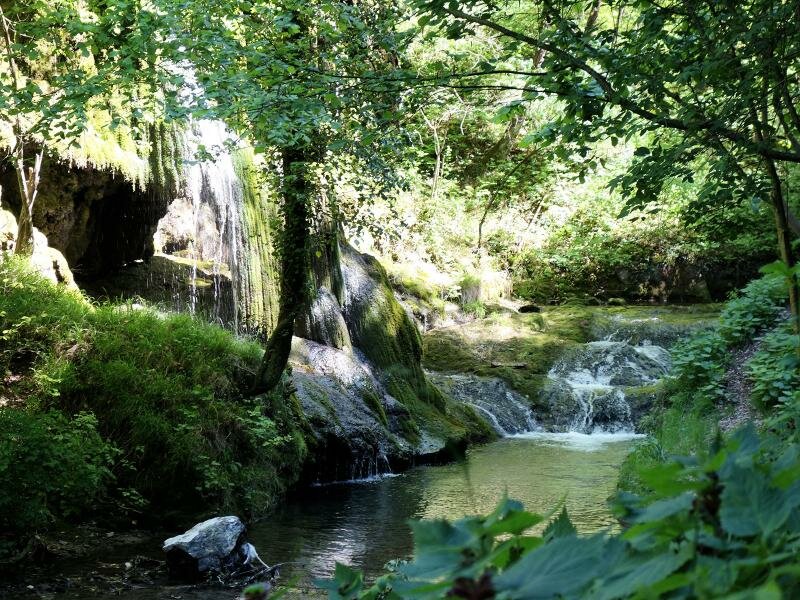
The next stage of our walking tour offers a true highlight. We follow the Waalweg path to the Forra dei Cenevai gorge, a picturesque valley with a stream and small waterfalls. This path concludes south of Padergnone and Lake Santa Massenza. By following now the signs to Padergnone and Santa Massenza we have once more the possibility to enjoy Lake Santa Massenza which is as beautiful as Lake Toblino.
Please note: Currently this hike is not feasible due to the closure of the path along Lake Santa Massenza and Lake Toblino (updated to March 2025).
Author: AT
-
- Starting point:
- Santa Massenza
-
- Time required:
- 04:45 h
-
- Track length:
- 16,5 km
-
- Altitude:
- from 234 m to 468 m
-
- Altitude difference:
- +355 m | -355 m
-
- Route:
- Lake Santa Massenza - Lake Toblino round path - Sarche - Ponte Oliveti - church of Corgnon - Frassene path - Madruzzo - Calavino - Calavino Waalweg path - Canevai Gorge - Padergnone - Santa Massenza
-
- Resting points:
- various restaurants at Sarche and Calavino
-
- Recommended time of year:
- Jan Feb Mar Apr May Jun Jul Aug Sep Oct Nov Dec
-
- Download GPX track:
- Hike from Lake Toblino to Calavino
If you want to do this hike, we suggest you to check the weather and trail conditions in advance and on site before setting out.