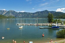
A circular walk in the beautiful countryside between Lake Caldonazzo and the Vigolana Plateau, passing villages, churches and a medieval castle
Image gallery: To Monte Bosentino and the Madonna del Feles
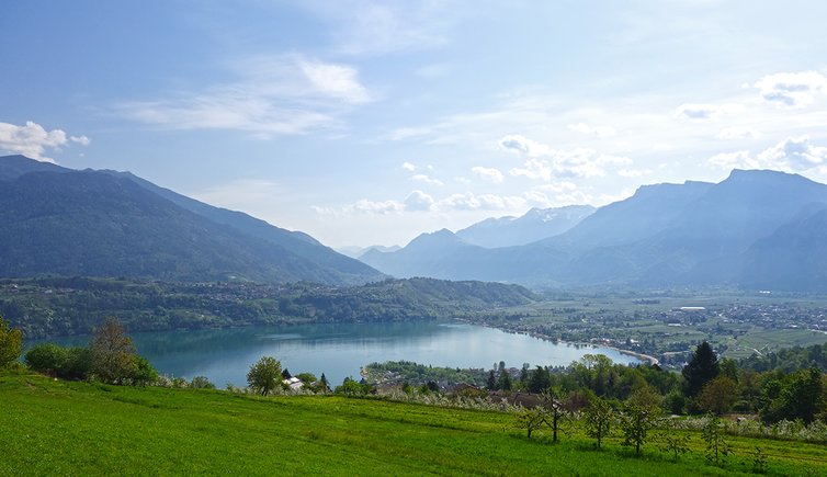
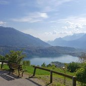
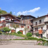
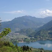
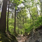
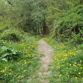
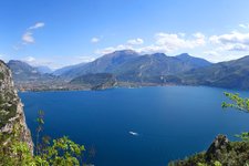
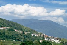
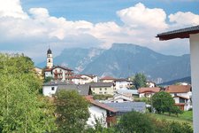
Our hike through the woods above Bosentino takes us to places of natural, cultural and historical interest. The tour is particularly recommended in spring and autumn, as the altitude is relatively low: the highest point is just below 1,000 m a.s.l. From the village centre of Bosentino we first start towards Migazzone. The path continues through fields and woods to Santa Caterina, which offers a magnificent view on the Valsugana and Lake Caldonazzo.
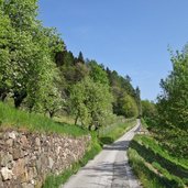
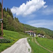
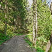
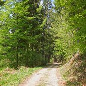
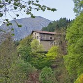
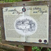
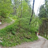
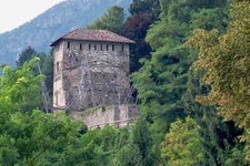
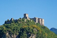
In the village of Santa Caterina the ascent to the higher located farms begins. We follow the forest paths until we reach the forest road that leads to Monte di Bosentino. Arrived on the top, we continue along the forest road towards Bosentino and Vigolo Vattaro. After the first bends downhill, we take the path to the right towards Castel Vigolo. The castle, built in 1200, is now privately owned and cannot be visited.
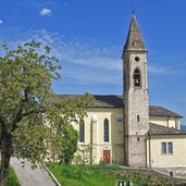
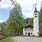
A little further on we reach the last highlight before arriving at Bosentino again: the Sanctuary of Madonna del Feles. It dates back to 1620, when the Virgin Mary appeared to a shepherd. The hike is largely easy, but also involves a fairly steep ascent. It is recommended to all those interested in culture and nature who want to discover the centuries-old interesting history of this corner of the Trentino.
Author: AT
-
- Starting point:
- Bosentino (village centre)
-
- Time required:
- 03:00 h
-
- Track length:
- 9,0 km
-
- Altitude:
- from 641 m to 1.015 m
-
- Altitude difference:
- +417 m | -417 m
-
- Route:
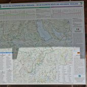
- Bosentino - Santa Caterina - Monte Bosentino - Castel Vigolo - Madonna del Feles - Bosentino
-
- Signposts:
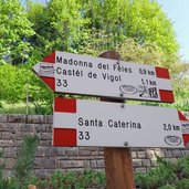
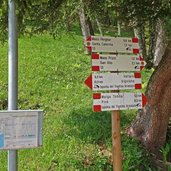
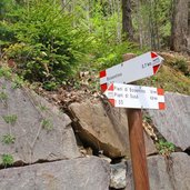
- no. 33, Via dei Masi Alti
-
- Recommended time of year:
- Jan Feb Mar Apr May Jun Jul Aug Sep Oct Nov Dec
-
- Download GPX track:
- To Monte Bosentino and the Madonna del Feles
If you want to do this hike, we suggest you to check the weather and trail conditions in advance and on site before setting out.
