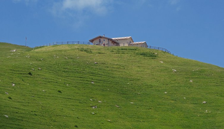
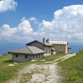
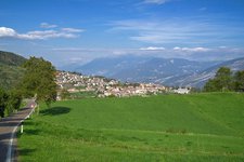
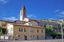
The destination of this hike is the mountain hut at the Campei di Sopra alpine pasture at the Monte Baldo, in the municipality of Brentonico
Image gallery: Hike from Festa to the Rif. Campei mountain hut
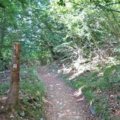
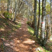
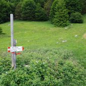
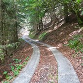
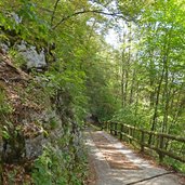
The starting point of our hiking tour is located at the Brentonico High Plateau at 880 m a.s.l.: the little village of Festa. We follow the path no. 650 which proceeds between fields and the forest and is known as "Sentiero delle Oche" (path of the geese). At the junction we follow the trail on the left, which ascends steeply through a beech forest.
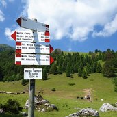
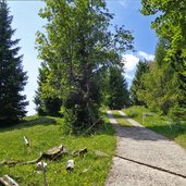
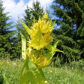
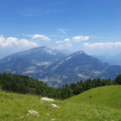
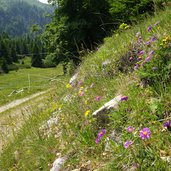
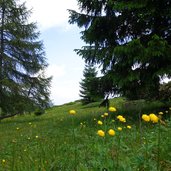
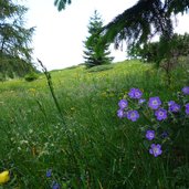
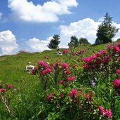
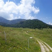
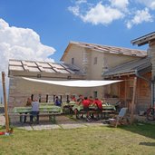
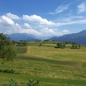
Arrived at the edge of the forest, we experience a completely different landscape: the meadows of the Malga Campei di Sotto alpine pasture. The diverse flora on the Monte Baldo with its numerous alpine flowers is in full bloom. We continue on path no. 650, which now joins the forest road again and climbs up to the Malga Campei di Sopra, our destination. We explore the surrounding meadows and enjoy the panoramic view towards north and east to the fullest before we take a break at the Rif. Campei di Sopra mountain hut.
For our way back into the valley we take the same route. An alternative is the forest road, which is less steep and stony. But this will lengthen the hike by about 6.5 km and the walking time is doubled (two hours descent instead of one).
Author: AT
-
- Starting point:
- Brentonico, Festa (parking)
-
- Time required:
- 03:20 h
-
- Track length:
- 12,3 km
-
- Altitude:
- from 888 m to 1.539 m
-
- Altitude difference:
- +682 m | -682 m
-
- Signposts:
- Nr. 650 (Sentiero delle Oche)
-
- Destination:
- Malga Campei di Sopra
-
- Resting points:
- Malga Campei di Sopra
-
- Recommended time of year:
- Jan Feb Mar Apr May Jun Jul Aug Sep Oct Nov Dec
-
- Download GPX track:
- Hike from Festa to the Rif. Campei mountain hut
If you want to do this hike, we suggest you to check the weather and trail conditions in advance and on site before setting out.
