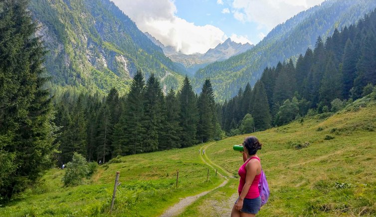
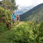
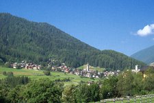
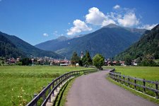
This popular and easy hike through the green Valpiana valley, an idyllic side valley of the Val di Sole, is ideal for a family excursion
Image gallery: Hike from Ossana to the Malga Valpiana
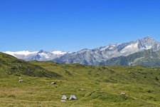
The destination of our hike is the small valley that is called Valpiana (flat valley): It extends from Ossana in the Val di Sole into the north-eastern part of the Presanella Group. We park our car next to the St. Vigilio Church in the village centre and follow the Valpiana Road to the first bend, where we keep left and take the “Sentiero de la Léc” path.
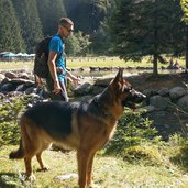
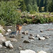
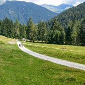
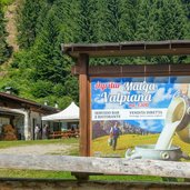
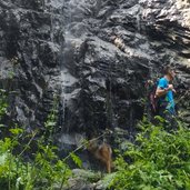
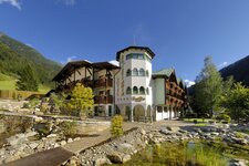
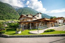
The path now ascends through a dense pine forest until we leave the forest and see the Rif. Valpiana hut at 1,221 m a.s.l. in front of us. It can also be reached by car. Our four-legged friend plunges into the water of the Foce river and takes a refreshing bath. The forest road takes us the last section up to 1,311 m a.s.l., where the Malga Valpiana mountain hut is located, a popular refreshment stop that we don't want to miss. After a well-deserved break, we visit also the waterfall and the climbing wall "Sas Pisador", then we follow the same forest path back to our starting point in the valley.
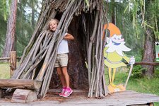
The above described route from Ossana is already easy, but can be shortened again by half if you park your car at the chargeable parking space at the Rif. Valpiana hut - a possibility that makes the hike suitable also for the youngest and less experienced hikers.
Author: Giacomo Roccabruna
-
- Starting point:
- parking space at the St. Vigilio Church in the village centre of Ossana
-
- Time required:
- 02:40 h
-
- Track length:
- 7,4 km
-
- Altitude:
- from 1.009 m to 1.376 m
-
- Altitude difference:
- +367 m | -367 m
-
- Route:
- Ossana – Rif. Valpiana hut – Malga Valpiana mountain hut – waterfall and climbing garden "Sas Pisador" – Ossana
-
- Resting points:
- Malga Valpiana
-
- Recommended time of year:
- Jan Feb Mar Apr May Jun Jul Aug Sep Oct Nov Dec
-
- Download GPX track:
- Hike from Ossana to the Malga Valpiana
If you want to do this hike, we suggest you to check the weather and trail conditions in advance and on site before setting out.
