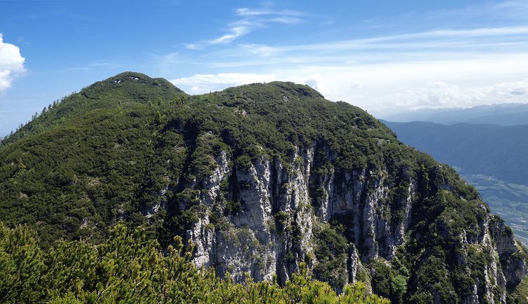
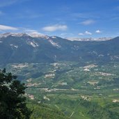
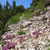
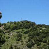
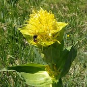
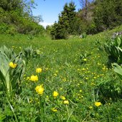
This ascent to the peaks of Ton with a stop at the beautiful Malga Bodrina mountain hut is a highlight for experienced hikers
Image gallery: Hike to the Bodrina Hut and the Cima Roccapiana
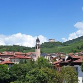
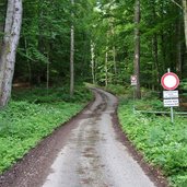
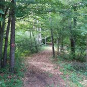
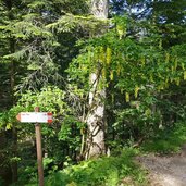
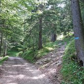
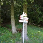
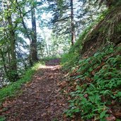
To reach the starting point of this hike we cross the centre of Vigo di Ton by car and follow the signs for the forest road that leads to the Malga Bodrina mountain hut (1,550 m a.s.l.). The asphalt road brings us to a barrier from where the passage is only possible with permission and reserved for off-road vehicles. Here we find a small parking space, very close to the path no. 509. We are at about 600 m a.s.l., a steep ascent through the forest to the alpine hut at 1,550 m a.s.l. is ahead of us.
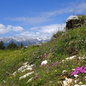
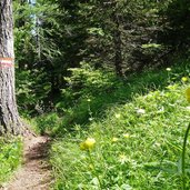
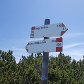
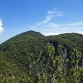
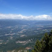
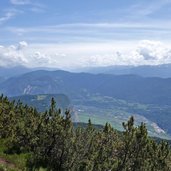
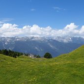
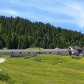
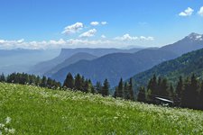
Almost three hours later and already quite tired we reach the Malga Bodrina hut. Up to the Cima Roccapiana there are still 300 meters of altitude difference to manage: However, it is really worthwhile to climb the summit of Cima Roccapiana or the neighbouring Cima Monticello, as the view from up there is truly spectacular. It is time for us to descend to the Malga Bodrina hut to spend a well-deserved break with polenta and homemade bratwurst. The alpine hut is a true place of peace in the middle of a large flower meadow, surrounded by forests.
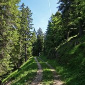
After our break we walk downhill back to the parking space, but this time along the forest road (a bit longer but less steep than path no. 509). A quite strenuous but absolutely unforgettable hike! Tip: Start early in the morning when it is still shady during the ascent. So there will also be enough time for an extended lunch break at the Malga Bodrina mountain hut.
Author: AT
-
- Starting point:
- Vigo di Ton, parking space at the forest road to the Malga Bodrina mountain hut (barrier)
-
- Track length:
- 12,1 km
-
- Altitude:
- from 612 m to 1.843 m
-
- Altitude difference:
- +1241 m | -1241 m
-
- Route:
- Malga Bodrina – summit of the Cima Roccapiana – Monticello
-
- Signposts:
- no. 509, 500
-
- Resting points:
- Malga Bodrina
-
- Recommended time of year:
- Jan Feb Mar Apr May Jun Jul Aug Sep Oct Nov Dec
-
- Download GPX track:
- Hike to the Bodrina Hut and the Cima Roccapiana
If you want to do this hike, we suggest you to check the weather and trail conditions in advance and on site before setting out.
