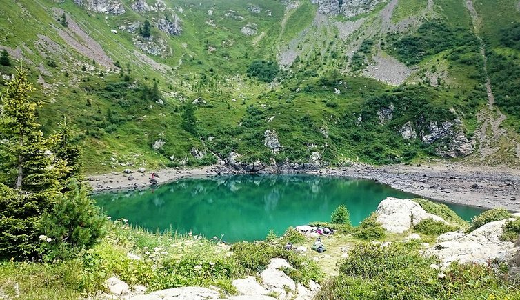
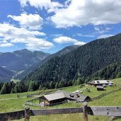
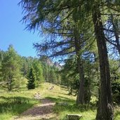
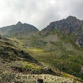
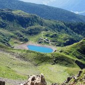
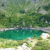
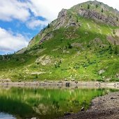
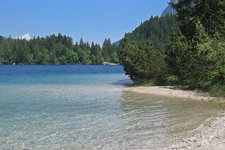
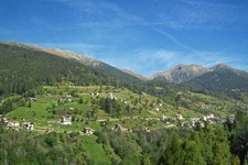
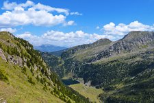
Lake Erdemolo, located at 2,005 m a.s.l. in the idyllic Val dei Mocheni valley, is a popular and really nice hiking destination: the ascent takes place through woods, across clearings and alpine pastures surrounded by an intact natural landscape
Image gallery: Hike to Lake Erdemolo
With a bit of luck, this hike at the beginning of summer offers a colourful spectacle, when the alpenroses bloom and enchant the surrounding of the lake with their pink shades and scent. Also at midsummer the little lake is partly covered with snow and ice, what makes it an ideal Kneipp spot for tired feet. From the Rif. Sette Selle mountain hut it is only a short walk to Lake Erdemolo.
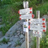
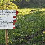
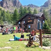
Starting point of our hike is the parking space of the hiking paths in Palù del Fersina in the district of Vrottn. We follow the path no. 343 to the Rif. Sette Selle mountain hut at 1,978 m a.s.l. where we enjoy a rest. Afterwards we go the way back until the junction with the path no. 324 which proceeds straight to the Lake Erdemolo (Lago di Erdemolo).
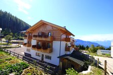
At the lake we take the path no. 325 to come back to the Rif. Sette Selle where we stay for a while again. The mountain hut at the lake, the Rif. Al Lago di Erdemolo, unfortunately is closed.
Author: Giacomo Roccabruna
-
- Starting point:
- Palu del Fersina, parking space of the hiking paths to Frotten / Vrottn
-
- Time required:
- 04:20 h
-
- Track length:
- 10,5 km
-
- Altitude:
- from 1.503 m to 2.160 m
-
- Altitude difference:
- +867 m | -867 m
-
- Signposts:
- no. 343 (Sette Selle hut) - no. 324 (Erdemolo) - no. 325 (way back)
-
- Destination:
- Lake Erdemolo
-
- Resting points:
- Rif. Sette Selle mountain hut
-
- Recommended time of year:
- Jan Feb Mar Apr May Jun Jul Aug Sep Oct Nov Dec
-
- Download GPX track:
- Hike to Lake Erdemolo
If you want to do this hike, we suggest you to check the weather and trail conditions in advance and on site before setting out.
